
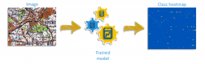
BERLIN—Trimble (NASDAQ: TRMB) today announced the release of eCognition Suite 9.3, a software platform for advanced geospatial image analysis for environmental, agriculture, forestry and infrastructure applications. Version 9.3 leverages the latest image…
Trimble Expands Field-to-Finish Capabilities for Geospatial Professionals with Enhancements to Software Portfolio
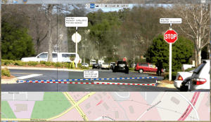
BERLIN—Trimble (NASDAQ: TRMB) announced enhancements to its industry leading portfolio of geospatial office software with a new version of Trimble®…
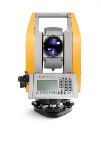
Trimble Enhances Optical Portfolio with the Next-Generation Mechanical Total Stations
BERLIN—Trimble (NASDAQ: TRMB) today announced the release of the Trimble® C5 and Trimble C3, the next generation of mechanical total stations to support…

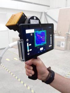
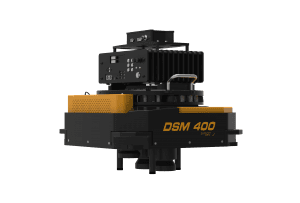
FARO Announces Innovative Visual Inspect for Inspection and Design
Lake Mary, FL - FARO® (NASDAQ:FARO), the world’s most trusted source for 3D measurement and imaging solutions for factory metrology, construction BIM/CIM, product design, public safety forensics, and 3D solutions applications, announces the availability…
Applanix Releases Updated Version of POS LVX for High-Accuracy Positioning and Orientation for Autonomous Ground Vehicles
Berlin, Germany – Applanix, a Trimble Company, introduced today an updated version of its POS LVX system, which provides high-accuracy positioning and orientation for the operation of autonomous ground vehicles. The POS LVX can be integrated with cameras,…
Trimble Expands Portfolio of OEM Products for High-AccuracyDirect Georeferencing on Unmanned Aerial Vehicles
BERLIN —Trimble (NASDAQ: TRMB) introduced today three new GNSS-Inertial Systems for Direct Georeferencing on Unmanned Aerial Vehicles (UAVs): the Trimble® APX-15-EI UAV, Trimble APX-18 UAV, and Trimble APX-20 UAV. Direct Georeferencing with the systems…

First True Tilt Compensation GNSS is Next Evolution of Leica Captivate Experience
(Heerbrugg, Switzerland, 26 September 2017) – Leica Geosystems, industry leader of measurement technology, announced today the Leica GS18 T, the world’s fastest GNSS RTK rover, and the latest versions of Leica Captivate field software and Leica Infinity…
GeoSLAM Launching Enhanced SLAM Software and Next Generation Mobile Scanner at InterGEO 2017
NOTTINGHAMSHIRE, UK, 25 September 2017 – GeoSLAM, the experts in “Go-Anywhere” 3D mobile mapping, will launch the latest version of its award-winning SLAM registration software and unveil the next-generation ZEB-REVO mobile scanner this week at InterGEO…

Streamlining Assessments with EagleView Property Information Card (EPIC)
Bothell, WA – Eagle View Technologies (“EagleView®”), a leading provider of aerial imagery and property data analytics, today announces EagleView Property Information Card (EPIC)™, a subscription-based digital database for local government appraisers…
Phase One Industrial Introduces 190MP Aerial System
COPENHAGEN ― Phase One Industrial today announced a breakthrough in aerial imaging – the 190MP Aerial System – built on the new, dual CMOS sensor, dual lens iXU-RS1900 camera, which is capable of capturing images at 190 megapixels. This system was designed…
