
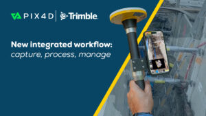
Lausanne, Oct 7, 2025 PIX4Dcatch is a user-friendly 3D scanning and AR visualization tool used by professionals in industries such as underground utility mapping and construction. Paired with the Trimble® Catalyst™ DA2 positioning system, this comprehensive…
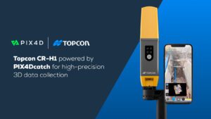
PIX4Dcatch is an integral component of Topcon’s newest handheld scanning solution, the CR-H1, designed for accurate reality capture
Lausanne, April 15, 2025 Pix4D is a core technology collaborator in the newly launched CR-H1 handheld reality capture solution from Topcon Positioning…
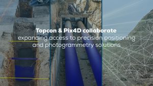
Topcon and Pix4D collaborate to advance photogrammetry solutions
Topcon Positioning Systems and Pix4D have announced a strategic agreement that combines their expertise in geopositioning and photogrammetry solutions.…
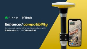
PIX4Dcatch offers enhanced compatibility with Trimble DA2 for accurate data capture
PIX4Dcatch, a user-friendly 3D scanning and AR visualization tool used by Architecture, Engineering, and Construction (AEC) professionals worldwide, has been upgraded to offer improved compatibility with the TrimbleⓇ DA2 positioning service, powered by Trimble…

Pix4D Germany wins a competitive tender for Deutsche Bahn to monitor railway infrastructure maintenance and construction in Germany
Berlin, Germany - Pix4D is pleased to announce that it has been awarded a competitive tender for Deutsche Bahn to provide solutions and services for upcoming railway infrastructure projects through the analysis and visualization of drone images. Pix4D will…
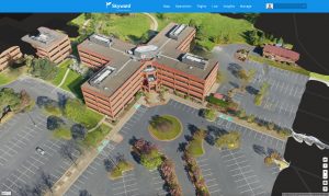
Skyward, A Verizon company introduces mapping and modeling powered by Pix4D
Skyward Mapping & Modeling, powered by Pix4D, enables customers to create, view, measure, and export 2D orthomosaic maps and 3D photogrammetric models right from Skyward’s web app PORTLAND, Ore. - Today, Skyward, A Verizon company, announced its…

Pix4D launches new ground image capture app for 3D modeling with the iPad Pro and iPhone 12 Pro
Lausanne, Switzerland, [November 10, 2020]: Pix4D, the photogrammetry industry leader, announces today the release of a new app product for ground images acquisition: Pix4Dcatch. Pix4Dcatch empowers users to easily create ground-based 3D models using an iOS…

A Novel Solution for 3D Mapping Construction Sites: Put a Camera on a Crane
After making its name on the drone photogrammetry market, Pix4D is working its way into solutions designed specifically for construction–and some of those solutions are very creative. First, some background: Pix4D offers a BIM solution built on existing…
Vertical Images: From Film Making to Inspection, and Why the Future of Drones Doesn’t Lie in Flying
Successful drone entrepreneur Petr Lněnička went from award-winning filmmaker to drone inspection leader in his native Czech Republic. Here he lays out 3 pieces of advice and explains why for him, the transition seemed logical, and why he believes the future…
