
Graz, Austria • October 07, 2025 — Vexcel Imaging proudly announces the launch of the new UltraCam Dragon 4.2, the next evolution in hybrid aerial mapping technology. Building on the success of its predecessor, the new system features…
Vexcel Imaging introduces the all-new UltraCam Merlin 5.0: Premium Photogrammetric Nadir Mapping at Unprecedented Scale
Graz, Austria • October 07, 2025 — Live from Intergeo 2025 in Frankfurt, Vexcel Imaging proudly announces the new UltraCam Merlin…
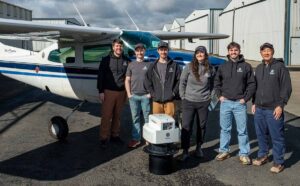
GeoTerra Selects Vexcel’s UltraCam Merlin 4.1 to Elevate Aerial Mapping Operations in the Pacific Northwest
Graz, Austria – Vexcel Imaging is pleased to announce that GeoTerra, a U.S.-based aerial mapping service provider, has acquired the UltraCam Merlin…
UltraCam Condor 4.1 is released
Graz, Austria • September 21, 2021: Vexcel Imaging is announcing the next camera release based on Vexcel Imaging’s 4th generation camera architecture, the UltraCam Condor 4.1. More than just a 'facelift' to the Condor M1, the UltraCam Condor…

Portable UltraCam Panther Offers High-Quality Imagery, Video and LiDAR
Graz, Austria — May, 2017 — Vexcel Imaging is announcing the new UltraCam Panther, a versatile portable platform that carries complementary sensors to capture full-spherical imagery and video, dense 3D LiDAR point clouds and precise trajectory information…
